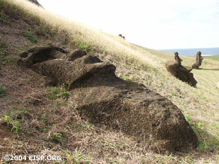
Easter Island Statue Project History: 2004
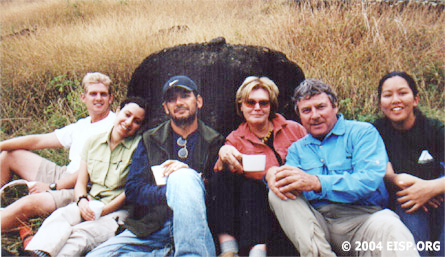
EISP Team 2004: Matthew Bates, Debra Isaac, Cristián Arévalo Pakarati, Jo Anne Van Tilburg, Bill White, Alice Hom. ©EISP/JVT/Photo: Bill White.
GPS Mapping of Rano Raraku Interior
July-August 2004
Field Crew
Dr. Jo Anne Van Tilburg, UCLA, Project Director
Cristián Arévalo Pakarati, EISP Co-Director
Matthew Bates, Surveyor
Alice Hom, EISP Database Manager
Debra Isaac, Graphic Artist
Bill White, Photographer
Goals and Methods
Maps and images created by Chilean governmental agencies over three decades were reviewed in preparation for creating the published map of Rano Raraku in Cristino et al. Atlas Arqueólogica de Isla de Pascua, 1989. A key base document for the latter was the plan of the volcano created by Lt. D.R. Ritchie of the Mana Expedition to Easter Island, 1914. Five archaeological zones were created in Rano Raraku: interior and exterior slopes, interior and exterior quarries, and upper exterior quarries. Two quarry zones, designated C and D, in the interior, were outlined but not mapped.
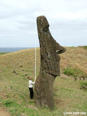
Jo Anne Van Tilburg measuring height of upright moai on exterior slope of Rano Raraku. ©EISP/JVT/Photo: Alice Hom.
The goal of EISP’s seasonal mapping effort from 2002-2004 in the interior of Rano Raraku was to map all statues, outline the papa, and fully delineate the quarries in Areas C and D; to compile a contour map of the area showing the main topographical features, and to localize all previously mapped and numbered statues that are standing or fallen on the interior slopes.
An existing GPS station approximately 10 km west of Rano Raraku was established by NASA in 1998. In 2000, we placed our survey on the GPS datum WGS 84 and the UTM (Universal Transverse Mercator) projection zone 12. This is the same projection as was used for the previous survey and, therefore, provides consistent data. We established four base stations in Rano Raraku on the south side of the volcano and marked each by steel pegs placed level with the ground. These are located away from the main path and not ordinarily visible to passersby. Another three points were established in Area C and marked by wooden pegs driven in flush with the ground. These pegs were also placed away from paths so that they would remain inconspicuous and undisturbed.
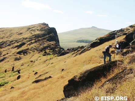
Cristián Arévalo Pakarati and Matthew Bates surveying in Rano Raraku quarry. ©EISP/JVT/Photo: Alice Hom.
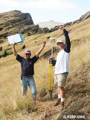
Cristián Arévalo Pakarati and Matthew Bates celebrate the last survey point. ©EISP/JVT/Photo: Alice Hom.
In 2002, we surveyed to centimeter level accuracy using two Ashtec GPS single frequency satellite receivers to gain latitude, longitude and elevation above sea level. The attitude of the statues was also recorded: the direction in which the statue faced; the forward slope, and the sideways/lateral slope. In 2004, we used Trimble 5700 equipment. Our major field emphasis was the collection of additional mapping points that would allow the further exposition of design details on selected statues and quarries. The pace of work was approximately 300 survey points collected per day for a total of 2,200 points collected in Sections C and D.
In the Field
A few interior quarry features in the Atlas were impossible to relocate without additional identifying information. On the exterior slopes, eight statues or possible statues shown in the Atlas and numbering RR-002-209, 215, 216, 226-228, and 231-232 were not relocated due to new rock falls or erosion of identifying features. In a few instances, we found that the orientations, head/base relationships or minor archaeological details (i.e. presence or absence of taheta) of several statues on both the interior and exterior were inaccurately indicated on the Atlas. These anomalies will be rectified on our forthcoming map and all available identification numbers assigned statues by previous investigators will be cross-referenced.
Findings
A total of 139 statues, from shaped block to partial form to finished, fully detailed figure, were mapped in 19 discrete interior quarries—42 more than previously suggested.
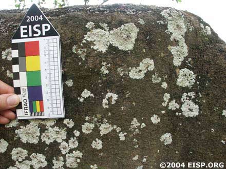
Quarry descriptive details constitute an additional, vast quantity of information, and include carving canals, transport canals, papa surfaces and configurations and tool marks. Important and previously unrecognized rock art on statues and in quarries was documented. These data will be integrated into a separate but parallel study of rock art iconography currently underway.
None of the individual quarries are directly linked, but internally some of them show a degree of planning. Some quarries appear to have been practice or teaching areas for such important features as statue heads and faces. As Routledge noted, narrow carving canals, some very steep and dangerous, are cut into the bedrock alongside and at the top and bottom of roughed-out blocks. These average about 50 cm wide, and some are stepped. Carvers stood in these canals to work.
Research, Conservation and Outreach
The value of the EISP database is that it supports reconstruction of the prehistoric Rapa Nui human population as a component of ecological, political, and esoteric systems. It combines analytical tools with social theory to contribute a unique perspective on island change. Its use facilitates the semiotic analysis of prehistoric Polynesian spatial organization. It is complementary to other ecological, geographic, economic, and social analyses in Pacific Studies, and integrates Rapa Nui into the larger and better understood East Polynesian interaction sphere. Finally, it provides insight into the long-term development of human systems, allowing visualization of historical and ecological linkages of the past with the present and future.
In 2004, our condition reporting system was reviewed by members of the Getty Conservation Center staff. As a base-line inventory with time depth, it was deemed a useful tool for conservators; however, some categories of data were revised, redefined, or renamed. These new-format statue condition reports were then completed by 2004 team members for every statue documented in the interior slopes and quarries, and for those standing or fallen on the exterior.
 English
  Español