Easter Island Statue Project Official Website

Statues Along Transport Roads
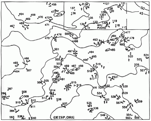

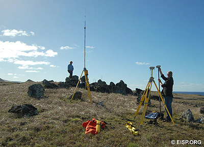
Detail of Quadrant 13 illustrating varying positions and orientations of eleven statues. Base survey map computer drafted and edited with additional data after Cristino F. et al. 1981, by Gordon Hull and Curtiss H. Johnson with Jo Anne Van Tilburg, 1993. From Easter Island Archaeology, Ecology and Culture by Jo Anne Van Tilburg. London: British Museum Press and Smithsonian Institution Press, 1994. Jo Anne Van Tilburg and Matthew Bates set up to survey the statue transport road. Photo: H. Debey © JVT.


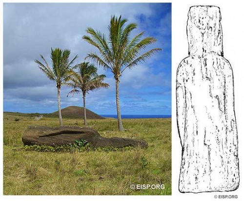
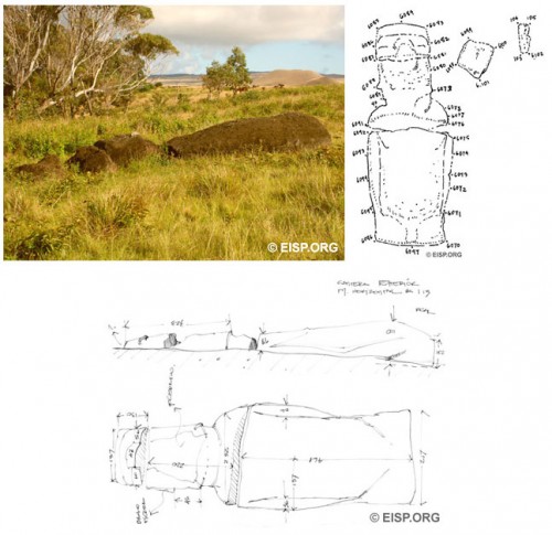
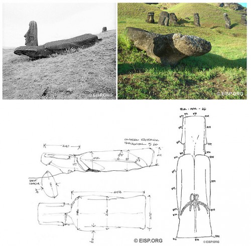
Moai RR-002-066 on the exterior slopes of Rano Raraku, as photographed in 1983 and 2006, also sketched for measurements in 1994 and surveying in 2006. Photo: D. C. Ocshner and J. Van Tilburg © JVT. Drawings: Cristián Arévalo Pakarati © JVT. Moai RR-002-113 near Rano Raraku, photographed and drawn and surveyed in 2006. Measurements done previously in 1994. Photo: J. Van Tilburg © JVT. Drawings: Cristián Arévalo Pakarati © JVT. Moai RR-002-066 on the exterior slopes of Rano Raraku, as photographed in 1983 and 2006, also sketched for measurements in 1994 and surveying in 2006. Photo: D. C. Ocshner and J. Van Tilburg © JVT. Drawings: Cristián Arévalo Pakarati © JVT.


In 2006-2007, EISP resurveyed the statues along the “transport roads” and updated the visual documentation record for each statue. This new data was used to create a more accurate map that shows unique statue details.


Posted on May 5th, 2009 by EISP Staff | Category: 2000s, Field Notes & Documents |